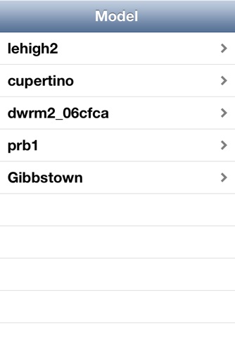
The GWModel app displays your groundwater model grid on a map, satellite, or hybrid view so you can see where your grid cells are aligned in the real world. On iPhone you can also show your current location if you are in the field so you can confirm your row and column location within the model. Rotated grids are also supported.
GWModel is compatible with files exported from Groundwater Vistas Version 6.27 or higher. These files are created by selecting File/Conversions/Model App. You can then get this file onto your iOS device using email or Dropbox. The app can store multiple models in a list, although you can display only one model at a time.
Notes and pictures can be recorded for any model grid cell. These notes and pictures can then be reviewed at any time.


